

Digital Magic In Today’s Real Estate

The world of technology is truly fantastic. Compared to the clunky monochromic 3D video tech in the mid-90s, today we can fully immerse ourselves in a simulated environment in 3D through Virtual Reality (VR). With multiple sensory integrations for sight, touch, hearing, and sometimes even smell, VR technology gives us the ability to interact and ‘live’ the experience.
The COVID19 pandemic saw rapid technological advances in leaps and bounds. Innovative experiences like VR combined with aerial tours are entering a wider business sphere with various enterprises keenly embracing the opportunities it presents.
Aerial Tour – Definitely NOT A Private Sightseeing Air Cruise
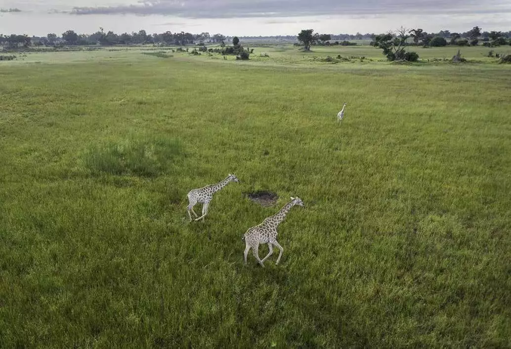
Aerial tours generally bring to mind pleasurable sightseeing trips in a chartered aircraft over cityscapes (like KL city centre), wildlife (imagine zebra herds in Tanzania) or landscapes (the majestic Grand Canyon, USA). Right?
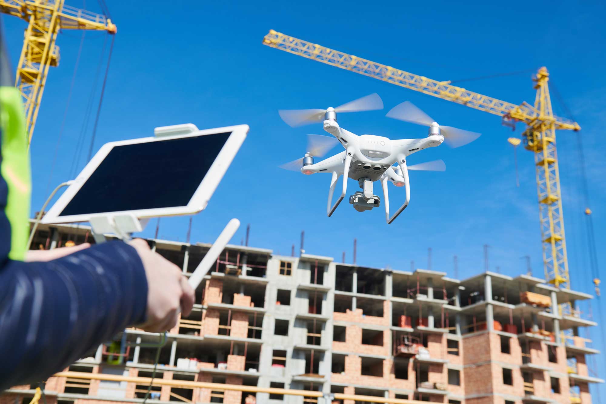
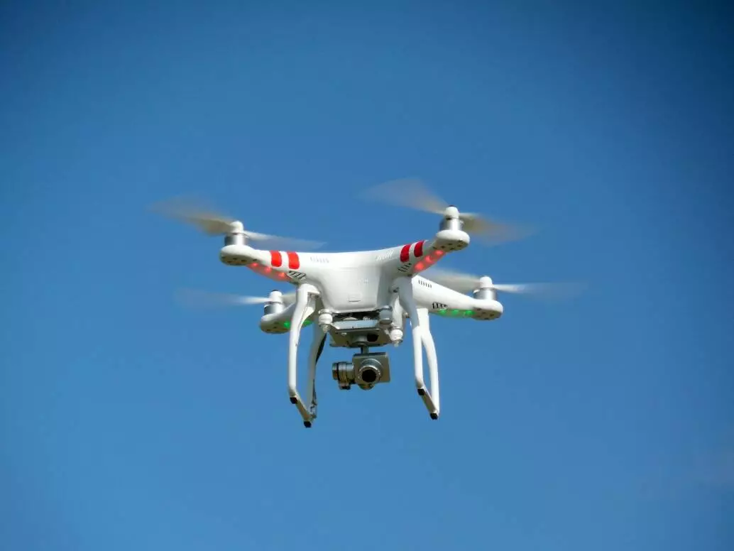
In today’s definition, an aerial tour also encompasses drone technology. A drone is essentially a flying robot that can be remotely controlled using software in its embedded systems. A professional drone controller is called a pilot. Like the pilot of an aircraft, a commercial drone pilot will require the necessary certification (via the Civil Aviation Authority of Malaysia or CAAM) before being able to navigate drones via remote control.
Aerial Drones – Then And Now
Previously drones were largely used by the military for intelligence gathering, surveillance and only in the movies! Now, however, the digital landscape has changed so much that drones can be used by anyone – avid photographers, hobbyists and different businesses. Some of its civilian roles include weather monitoring, traffic monitoring, firefighting and agriculture. Since the recent pandemic, the use of drone tech has been incorporated in education; and in an explosion of commercial photography as well as videography. This article emphasizes the purpose and benefits of aerial tours for land and property development projects.
Aerial Tours For Property Development
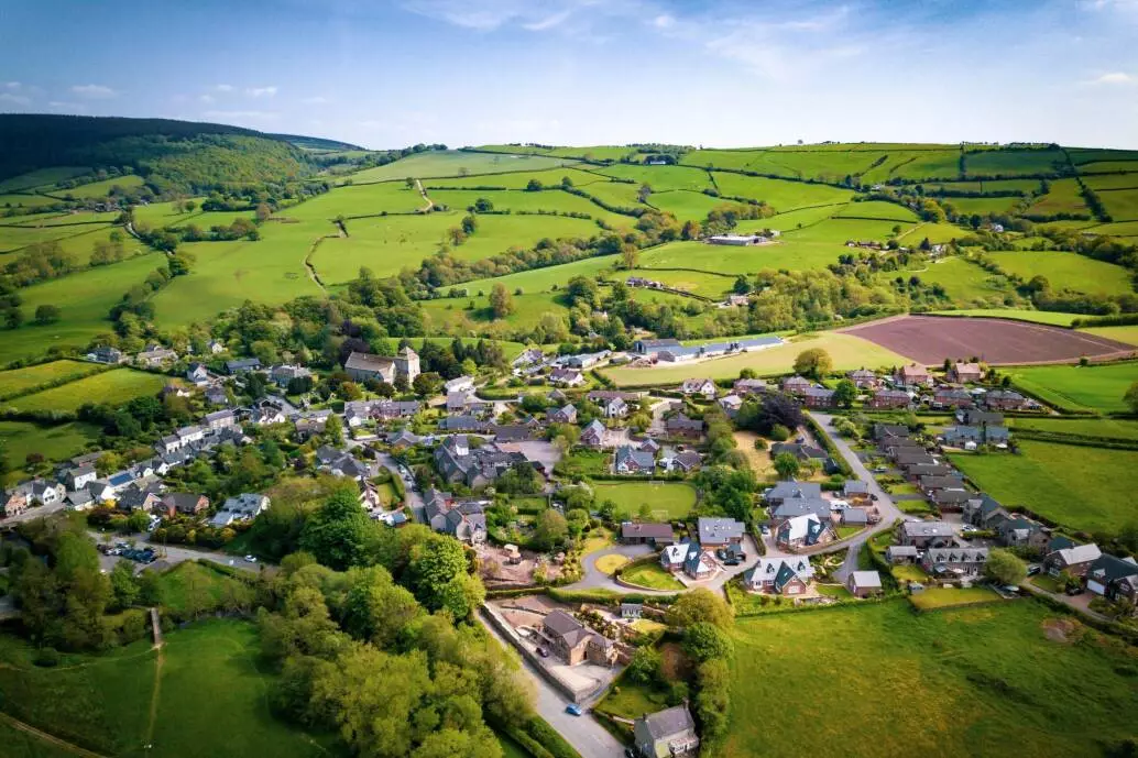
State-of-the-art drone equipment is able to capture stunning imagery, videos, survey footage and create 360 eye-catching aerial photos. You can digitize and view space from multiple angles, build functionality on top of it and more. With a single scan, you can automatically create 3D walk-throughs for several purposes.
Benefits For Land Development Projects
Whether you are planning a residential housing development, an infrastructure project, or an office park, land development requires an accurate map and an in-depth knowledge of its topography. Below are how aerial photography can assist in land development projects.
- Asset inspection
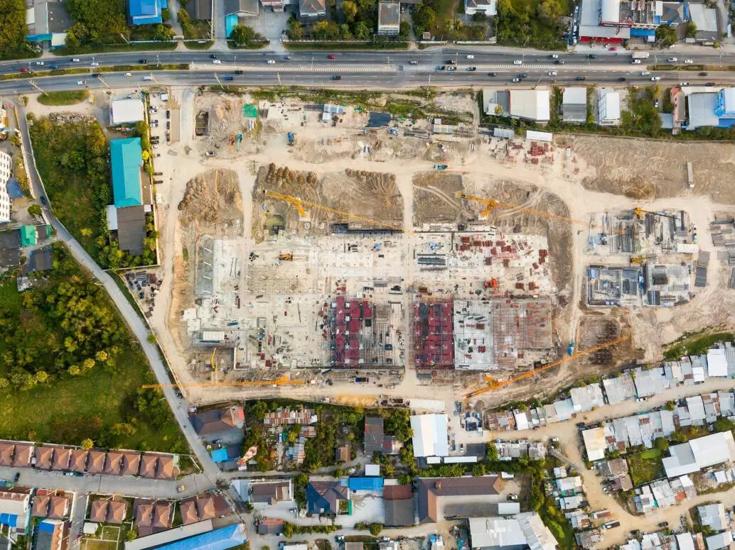
Aerial tours provide for real-time highly detailed asset inspections from the air providing developers with a unique macro view of the area alongside surrounding informative hotspots. The flight drones’ mobility, especially in remote areas, adds to the aerial content, shining light upon the many aspects and features of properties that were not so easily accessible on land. - Drone mapping is faster than ground-based survey and mapping
Whether you are planning a residential housing development, an infrastructure project, or an office park, land development requires an accurate map and an in-depth knowledge of the land. Land development projects are based on implementation timelines, and by using aerial mapping, time can be saved anywhere without sacrificing quality.
Land development requires topographic maps, boundary outlines, construction surveys, and land assessments. Typically, this involves ground-based surveying and mapping and requires a team of people to get the tasks done, all of which takes time. By using aerial drones, images and videos acquired can easily be turned into accurate, georeferenced 2D maps and 3D models in a short turnaround time. Low-cost surveys and high-resolution imagery translates to lower overheads. - Project Monitoring, Analysis and Reporting
Once the land is cleared and ready for excavation and construction, it is a crucial time not for one to lose sight of the project. Aerial inspections can be a powerful resource in construction project management, as they capture the data needed for real-time micro and macro analysis. Drones provide a clear view of sites which can help to identify what is done and which work is still pending on-site. It can also reveal pain points so corrective measures can be taken.
Real estate photography has stimulated the application of precise measurements, the use of drone imagery and UAV data. Powered by artificial intelligence, drones yield significant results that are as accurate as technology can fetch, This makes for better analysis and reporting.
Trending Sales & Marketing Tool
High-quality photography of an estate is definitely one of the more persuasive elements of a compelling listing. Potential property owners and renters tend to be attracted to listings displaying crisp, clear pictures of, for example, a house over blurry, darkened images showing nondescript parts of the property. With advanced technology, more property developers have turned to drones to snap listing pictures. Aerial photography is one of the most effective ways to make these listings more impressive.
- Stand out and be ahead of other local players
Did you know that virtual drone flythroughs are the newest and most engaging way to captivate targeted audiences and create next-level content? These smaller drones are used to take dynamic visual material for your company’s social media and are an exciting way to provide unique property landscape tours, luxury property previews and immersive office videos. Highlight your site or property with stunning panoramic vistas in 360 offering a firsthand look at the layout, position, surrounding landmarks and nearby entertainment hubs. - Best way to showcase the location and give customers a comprehensive view of the property
Many buyers and renters nowadays are interested in the lifestyle that their neighbourhood can offer them. From nearby recreational places like parks and beaches to schools and restaurants to the general ambience of a district. Virtual reality tours with aerial shots add a layer of professionalism that instantly provides a premium feel to properties. Bring your space to life by combining aerial footage with engaging content on your website and social media. Titillate the senses through the integration of interactive elements, sound and effects. Providing a bird’s eye view is an effective way to highlight significant outdoor features such as a beach waterfront, an adjoining swimming pool and jacuzzi, or solar panels on the roof in addition to vibrant neighbourhoods, malls, restaurants and bars. A first-person perspective can simulate the prospective viewpoint by walking down the street, into the driveway and through the front door into the customers’ potential homes.
- Higher reach and better sales leads, anytime, anywhere
Of course, investing in aerial photography is not just for show. Breathtaking perspectives and videos give your property a more dynamic element and can encapsulate perfectly how the views appear in person. By becoming one of the trendsetters in real estate marketing, you could be raking in leads by showcasing the quality and architectural beauty and space instantly through virtual tours on your website and social media. This easily increases search visibility by potentially attracting diverse views from investors to tech-savvy travellers, event planners and corporate clients. - Raising brand awareness
Gain credibility and boost brand recognition by highlighting key facts about your property with 3D virtual demos. With 360-degree access to your projects, you can inspire call-to-action at the click of a button, which not only stands out but shows that you perform above and beyond expectations. This not only generates more interest but people will associate you with quality and good taste, which will drastically boost your corporate image.
Conclusion
The plethora of opportunities with aerial tours, particularly in the field of real estate, is still relatively new and unrivalled. All in all, the immersive ingenuity of aerial photography and visual content hold certain magic that is simply appealing. It is as close to visiting a property as it’s possible to do without being there physically. Honestly, there is no better time than the present to give your business the upgrade it needs with aerial tours included in your digital marketing toolkit. Start your 360 story today.